As an Amazon Associate, we earn from qualifying purchases. Some links on this site are affiliate links at no extra cost to you. Our recommendations are based on thorough research and editorial judgment.
Weather Hazard Planning for Remote Camera Sites (Flood, Fire, Storms)
When we plan for weather hazards at remote camera sites, it’s vital to prepare for floods, fires, and storms. Here’s why:
- Proper planning protects equipment and guarantees safety.
- Real-time weather monitoring keeps you updated on conditions.
- Early warning systems alert you to dangerous weather.
You may be interested

We should also assess risks, use strong materials, and engage local communities. By doing this, we can build resilience against extreme weather. Together, we can explore more about effective strategies and practices.
Key Takeaways
- Implement real-time weather monitoring systems to receive live updates and alerts, ensuring quick responses to changing conditions at remote camera sites.
- Utilize weather-resistant materials for camera equipment and infrastructure to withstand extreme weather, reducing the risk of damage during floods, fires, and storms.
- Engage local communities in emergency preparedness training and create tailored early warning systems utilizing local data for increased resilience.
- Employ advanced technologies like Synthetic Aperture Radar (SAR) and automated flood monitoring tools for accurate assessments and timely alerts during severe weather events.
- Conduct regular training simulations based on camera data to enhance local teams’ readiness and adaptive planning during floods, fires, and storms.
Why Weather Hazard Planning Matters for Remote Sites
When it comes to remote camera sites, we really need to be aware of how quickly the weather can shift. That’s where weather hazard planning becomes super important. Imagine you’re out in the field, and suddenly a storm rolls in—without proper preparation, that could lead to serious issues for both the equipment and any surrounding areas.
So, what can we do? First off, we can set up real-time weather monitoring systems. These tools use advanced technology to give us live updates on changing conditions, meaning we can keep an eye on any developing threats. For example, if a heavy rainstorm is forecasted, we’re informed right away, allowing us to take the necessary precautions.
Another smart move is having early warning systems in place. These can send alerts about dangerous conditions before they turn into full-blown disasters. Picture this: you get a notification that a flood warning is in effect. That gives you time to secure your equipment and, if needed, evacuate the area.
Lastly, tools for flood monitoring help us track water levels, so we can visually assess if we need to take action. By being proactive, we not only safeguard critical infrastructure but also ensure that we’re ready for any emergencies that may arise. Knowing what to expect allows us to map out effective emergency response plans, which is essential for keeping both our remote camera locations and their surrounding environments safe.
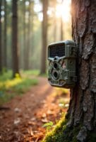
Weather hazard planning is further strengthened by leveraging remote monitoring technologies, such as cellular trail cameras with real-time access to footage and alerts, enabling immediate response to environmental changes.
Assessing Flood, Fire, and Storm Risks
Hey there! When it comes to managing remote camera sites, understanding the risks of flooding, fires, and storms is super important. Flooding can sneak up on you, especially after heavy rains or tropical cyclones. It’s a good idea to keep an eye on areas that are prone to flooding and stay updated with real-time weather info so you can react quickly if needed.
Now, let’s talk about fires. With climate change ramping up, wildfires are becoming more of a threat. It helps to know the fire patterns in your area. For instance, if you’re near a forested region, it’s wise to have a plan ready for evacuation or equipment protection when dry conditions or strong winds roll in.
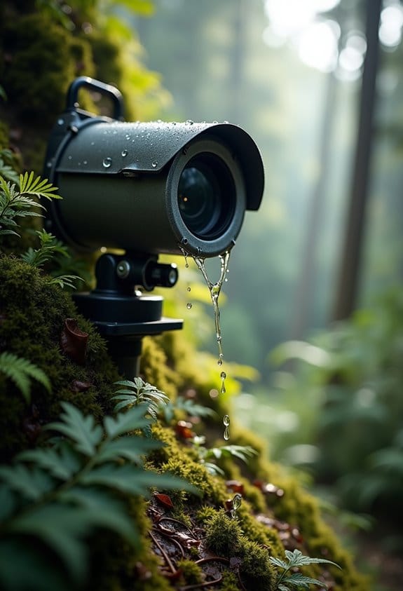
And storms? They can be unpredictable, but tracking them is key. By keeping up with forecasts, you can prepare for severe weather that could cause flooding or other damage. Just think—an early warning could mean saving lives or protecting your valuable equipment from the elements. Also, using a waterproof antenna with a high IP67 rating can help safeguard remote camera systems against harsh weather conditions.
Top Technologies for Effective Real-Time Monitoring and Data Collection
Hey! Did you know that effective real-time monitoring and data collection play a crucial role in managing weather hazards, especially around camera sites? It’s fascinating how we can use technology to stay ahead of potential threats, like floods.
For starters, take Synthetic Aperture Radar (SAR). It’s a powerful tool that helps us analyze flood situations, even when the weather isn’t cooperating, like when it’s cloudy or stormy. Then there are flood monitoring tools that collect real-time weather data—it’s like having a live update on flood risks at our fingertips. Automated alert systems are also fantastic; they send out notifications to communities when flood levels hit those danger zones, giving everyone a heads-up to stay safe.
And let’s not forget about AI-driven analytics. These systems sift through data to give us insights that enhance our understanding of high-risk areas. Imagine receiving detailed flood insights from various sources within just a few hours. That kind of speed means we can make smart decisions on flood management strategies, helping us respond effectively when it matters most. Cutting-edge AI technology also improves monitoring efficiency by reducing energy consumption, ensuring longer camera operation during critical weather events.
Designing Robust Infrastructure for Extreme Weather Conditions
You know, designing infrastructure that can handle extreme weather is a really fascinating topic. With all the wild storms and floods we’ve been seeing lately, it’s crucial to think about how we can keep everything safe and sound. One key aspect is using weather-resistant materials. For example, think about bridges made from reinforced concrete—they’re built to endure heavy winds and rising water levels.
Another important piece is automated flood monitoring. This tech collects weather data in real-time, alerting us quickly when a flood is imminent. Imagine being able to receive a text on your phone warning you about a flash flood just moments before it hits—that’s the power of modern technology!
Flexibility in deploying these systems also matters a lot, especially in remote areas. We need to be able to set up monitoring equipment quickly where it’s needed most. For instance, using portable sensors can help us gather reliable data about water levels during a flood, ensuring we can respond effectively.
Finally, employing advanced technology like synthetic aperture radar (SAR) allows us to monitor situations in difficult weather. It’s like having a bird’s eye view of a storm, helping us assess the damage and plan repairs faster. Overall, by focusing on these strategies, we can better prepare our infrastructure for whatever nature throws our way. Next, let’s look into how we can engage communities in these safety measures. Additionally, integrating 4G LTE connectivity enables real-time SMS alerts from monitoring devices even in the most remote locations.
Best Practices for Deploying Remote Camera Systems in Hazard-Prone Areas
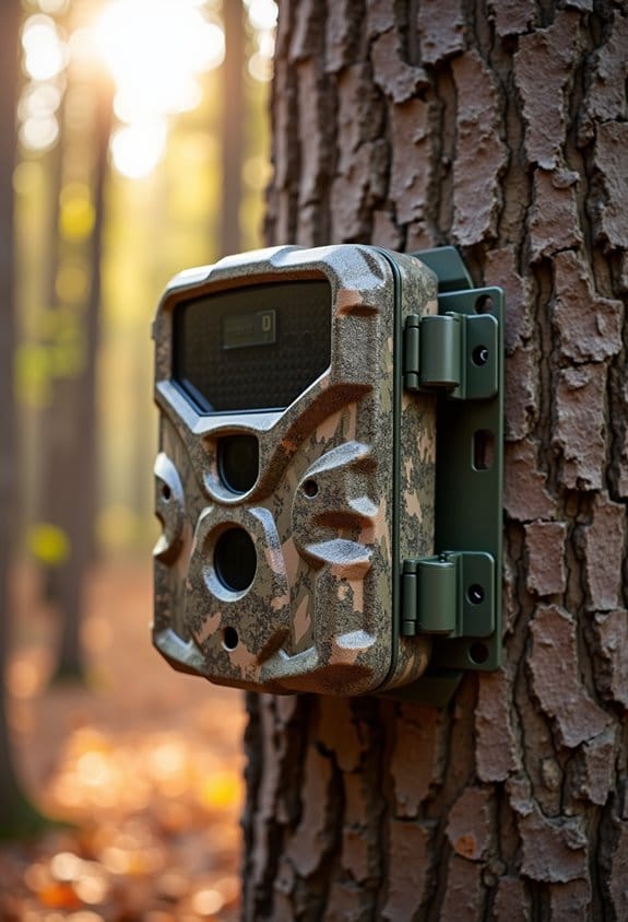
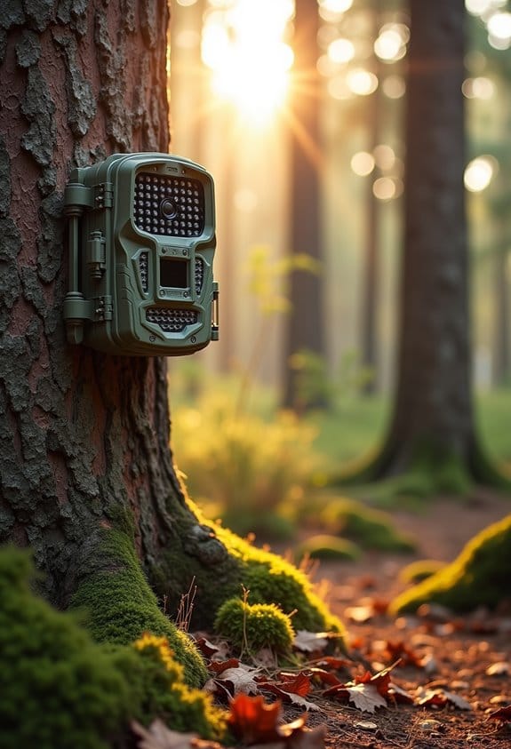
When you’re considering setting up remote camera systems in areas that can face hazardous conditions, there are a few best practices you definitely want to keep in mind to ensure they work effectively. For starters, think about using weather-resistant camera designs. This means opting for cameras that can handle anything Mother Nature throws their way, like self-emptying water drains and built-in heating elements for those freezing temperatures.
Another key aspect is integrating real-time data. By combining camera footage with current weather analytics, you can spot potential flood threats well before they happen, helping to keep everyone safe. For example, if your remote camera detects heavy rainfall patterns along with rising water levels, you can warn the community before it’s too late.
Don’t forget about leveraging AI technology, too! This can help automate the monitoring process, allowing for rapid responses to disasters such as wildfires or floods. Imagine a camera that not only tracks changes in the environment but alerts emergency services immediately when there’s a potential crisis.
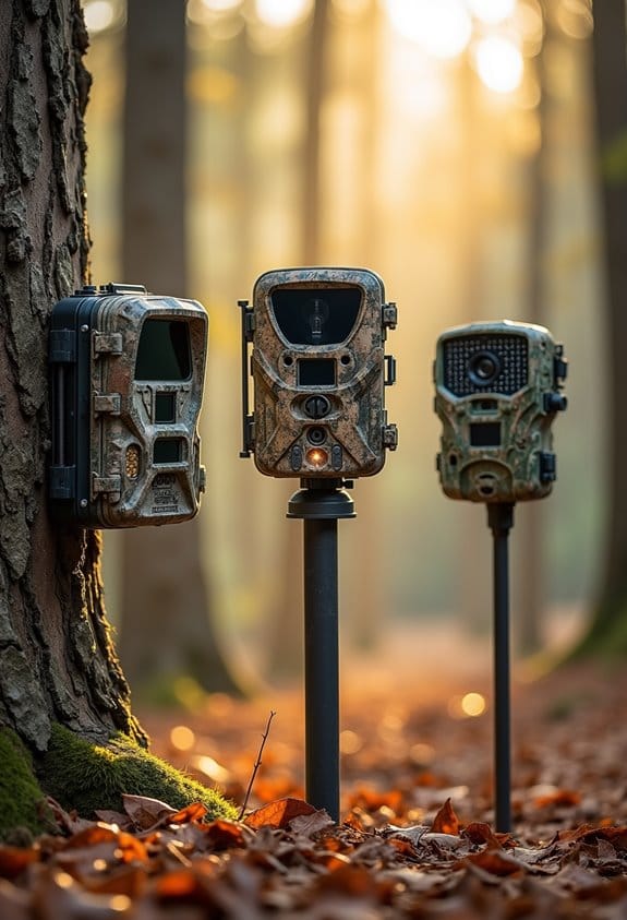
Optimal camera placement is also crucial. You really want to take a close look at the area’s geography to ensure you’re monitoring places that need it most, like critical infrastructure or areas frequently affected by storms. And it’s not just about the tech; engaging the local community is vital. Providing training on how to operate the cameras and prepare for emergencies can make a huge difference.
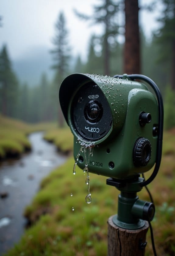
Choosing cameras with IP66 weather resistance ensures durability and protection against harsh outdoor conditions in hazard-prone environments.
Implementing Effective Practices for Community Engagement During Disasters
You know, when it comes to disasters, effective community engagement is really crucial for keeping everyone safe and ready. By communicating well, we can help folks understand what to expect during events like floods or storms. So, how do we do that?
First off, we can rely on local data and input to create early warning systems. This means listening to the community to make sure the alerts make sense and address real concerns. For example, if residents in a low-lying area report frequent flooding, we can adjust our warnings to prioritize those spots.
Another fun way to share important info is by hosting webinars and podcasts. Imagine tuning into a lively discussion with experts sharing tips on how to prepare for a disaster. You can even ask questions during these sessions! Keeping communication open is key—think of it as an ongoing conversation where everyone feels comfortable asking questions and sharing ideas.
Also, sharing stories from other communities can provide practical insights. For instance, a town that successfully managed a recent hurricane might have some clever strategies we can learn from, like creating community response teams.
These are just a few ways we can work together to enhance our disaster readiness. It’s all about building a strong network of informed and prepared individuals. Let’s look at how we can implement some of these practices in our own neighborhoods!
To improve monitoring during disasters, incorporating remote camera connectivity like cellular wildlife cameras can provide real-time alerts and valuable data from affected areas.
Integrating Weather Hazard Planning Into Infrastructure Design
If we want to keep our camera sites safe from severe weather events, integrating weather hazard planning into infrastructure design is key. Think about it: when we prepare our sites with a focus on weather risks, we’re not just protecting equipment; we’re ensuring reliable surveillance during critical moments.
A good example is flood resilience. By using hydrologic modeling, we can predict how heavy rainfall might lead to runoff in certain areas. This means we can take proactive measures to safeguard our camera locations, like elevating them or choosing better drainage solutions to mitigate flood impacts.
Speaking of preparation, real-time sensor data plays a big role too. When these sensors are set up at our sites, they monitor environmental conditions continuously. If things start to look risky, the system quickly sends automated alerts. Just imagine getting a text warning you of an impending storm—allowing us to take action before it hits!
In urban settings, camera placement becomes a strategic game. By choosing spots less prone to things like storm surges or flooding, we can keep our operations running smoothly. Plus, when we combine GIS data with weather forecasts, we can pinpoint the most vulnerable areas, helping us prioritize which sites need our attention first.
Understanding these planning steps not only protects our investments but also keeps us on the ball when extreme weather strikes. With smart planning and tech in our toolkit, we can make sure our infrastructure stands strong no matter what nature throws our way. So, what’s next? Let’s explore some of the technologies we can use in more depth!
For instance, selecting cameras with an IP66 rating ensures durability and weather resistance, which is critical in withstanding harsh environmental conditions.
Strategies for Continuous Improvement and Adaptation in Emergency Planning
Alright, so let’s talk about emergency planning and how we can always make it better and adapt to new challenges. A big part of this is keeping an eye on what’s happening in real time—like using advanced cameras that can spot trouble in areas prone to floods, storms, or wildfires. Imagine being able to watch a storm develop and respond instantly!
Now, here’s where technology really shines. We can use AI to analyze the footage from these cameras. This isn’t just crunching numbers; it helps us figure out the best evacuation routes and where to send resources quickly. For instance, if a fire breaks out in a certain area, knowing the traffic flow can help us direct people safely without causing gridlock.
Community engagement is also crucial. By teaching folks about the risks of severe weather, we’re essentially building a safety net. For example, setting up workshops to showcase how to prepare for a hurricane can empower your neighbors and make the whole community more resilient.
And we can’t forget about training and simulations. Regular practice drills using data from cameras help our local teams gear up for severe weather. Picture a group practicing how to respond to a sudden storm with the latest insights—they’re not just reacting; they’re prepared.
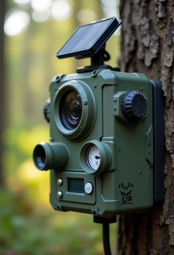
To further enhance reliability in any weather condition, using solar-powered trail cameras ensures continuous monitoring without frequent maintenance.
With these strategies in place, we can ensure that we’re ready for whatever nature throws our way. Let’s keep pushing forward with new ideas and tools to strengthen our emergency response!
Frequently Asked Questions
How Can We Assess the Long-Term Viability of Camera Sites?
To assess the long-term viability of camera sites, we’ll conduct site analysis considering environmental factors, apply risk assessments for habitat stability, monitor technological advancements, and guarantee infrastructure longevity and climate resilience through effective monitoring techniques.
What Training Is Required for Personnel Managing Remote Camera Sites?
A stitch in time saves nine! For effective remote site management, we need emergency response training, risk assessment protocols, safety procedures workshops, equipment handling courses, communication skills development, and updates on surveillance technology and disaster recovery planning.
How Often Should Infrastructure Be Inspected for Weather Damage?
We should inspect our infrastructure quarterly for damage assessment, adjusting maintenance schedules based on weather impact. Implementing monitoring technology helps enhance infrastructure resilience, ensuring our repair strategies align with safety protocols for effective management.
What Types of Insurance Are Advisable for Remote Camera Systems?
For our remote camera systems, we should consider equipment insurance, liability coverage, property insurance, flood indemnity, fire insurance, and cybersecurity insurance, along with site-specific policies and weather-related endorsements, ensuring extensive protection against various risks.
How Can Community Feedback Improve Weather Hazard Planning Strategies?
Community feedback enhances planning by utilizing community surveys, establishing feedback loops, and fostering stakeholder involvement. Engaging local expertise through communication channels and adaptive strategies helps align initiatives with risk perception, ultimately improving our collective resilience.